Structural Calculations
Extensions, attic conversions and openings in load bearing walls, with a site visit and a fixed fee quoted first.
Read moreStructural and civil engineering across Co. Westmeath, from Mullingar to Athlone, from our office in Newbridge, a little over an hour away on the M4.
Westmeath is a little over an hour from the office, up the M4 to Mullingar or across to Athlone. The engineer who visits is the one who designs the job and signs for it, so the drive is made by somebody who will be answerable for what is built.
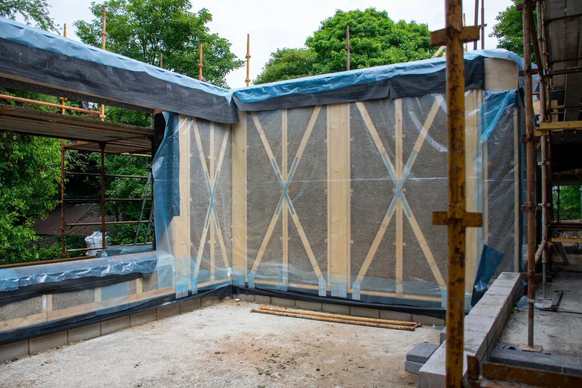
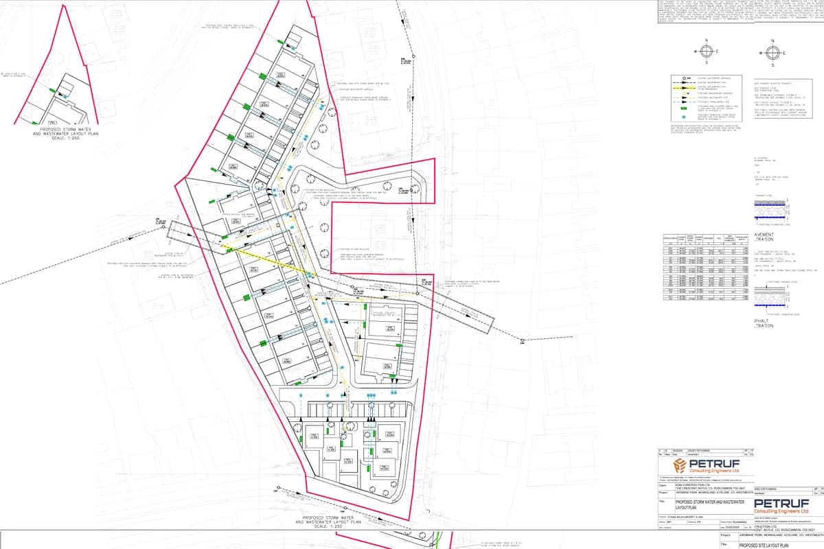
We have worked on both sides of the county. In Mullingar we designed the foundations and the timber structure of a house built from prefabricated straw panels, and at Monksland, on the Roscommon side of Athlone, the roads, drainage and water mains under twenty nine houses.
Planning applications in the county go to Westmeath County Council, at Áras an Chontae on Mount Street in Mullingar. The council is also the building control authority, and commencement notices are lodged with it through the national Building Control Management System.
The county is planned under the Westmeath County Development Plan 2021 to 2027, and since January 2026 Mullingar has a Settlement Area Plan of its own, made as a variation of it. The regional strategy names Athlone a Regional Growth Centre and Mullingar a Key Town, which is where most of the county's new housing is planned to go.
Westmeath sits on limestone, laid down as a shallow sea floor more than three hundred million years ago, and much of it is covered by what the ice left behind. The eskers are the county's signature: long ridges of sand and gravel, the Esker Riada between Kilbeggan and Tyrrellspass among them, which drain well and usually take a soakaway. Between them lie the raised bogs, about a tenth of the county, where a foundation has to reach firm ground or be designed for what is there.
Two sites a field apart can be on gravel and on peat, which is why a visit comes before a design. We set out what a site investigation finds and what each kind of ground does to a foundation in What the Ground Decides.
The Office of Public Works. The state body that leads flood risk management in Ireland, and publishes the national flood maps on floodinfo.ie.'s flood studies picked out Athlone, Mullingar and Kilbeggan for detailed assessment, and the maps are on floodinfo.ie. Athlone has a flood alleviation scheme on the Shannon, and Mullingar's flood relief scheme was finished in 2010. A site near the Shannon, a lake or a river will be asked about flood risk at planning, and the answer is cheaper before the design is fixed than after.
Mullingar, Athlone, Moate, Kinnegad, Kilbeggan, Tyrrellspass, Rochfortbridge, Castlepollard and Delvin, and the countryside between them.
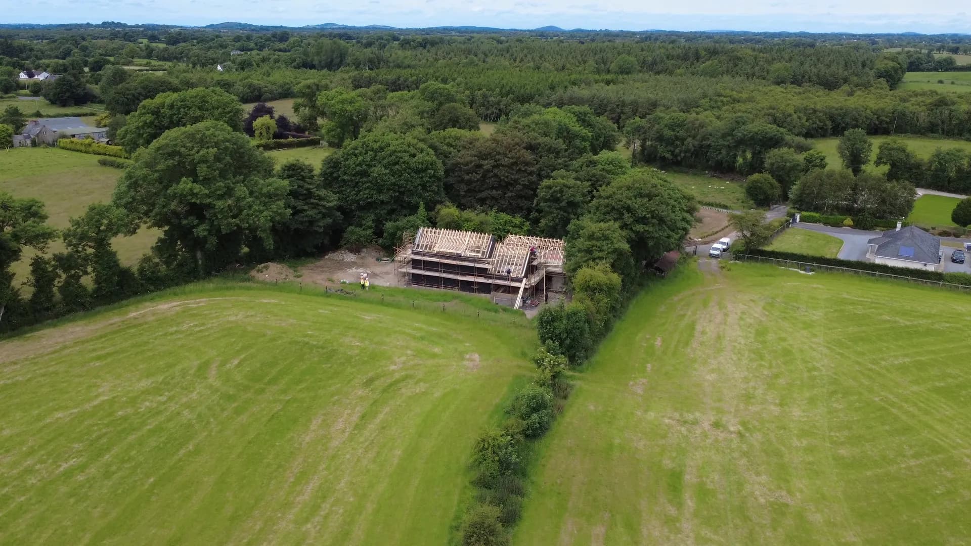
Mullingar, Co. Westmeath, 2025
A house in Mullingar on prefabricated timber and straw panels, with the foundations, timber structure and connections designed around the system.
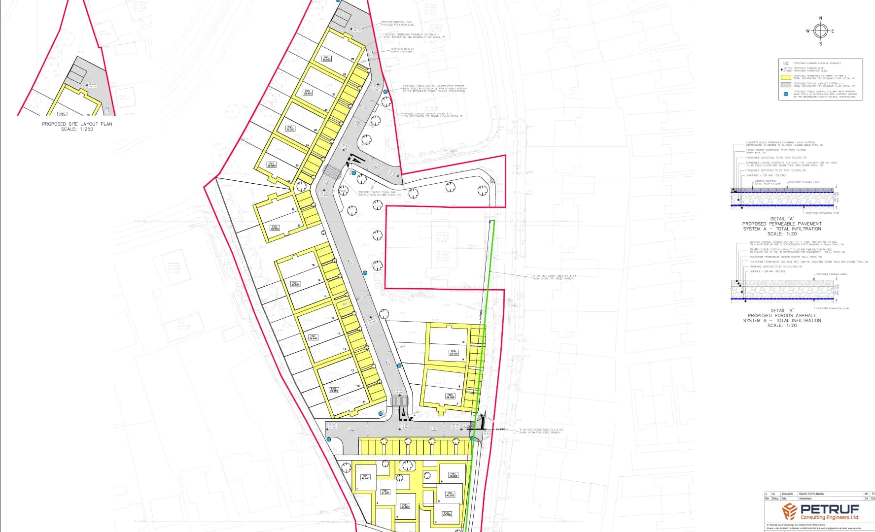
Monksland, Athlone, 2025
Twenty nine houses at Monksland, just across the Shannon from Athlone, with the roads, drainage, water main and Uisce Éireann applications behind them.
Drawings, a specification, or the site address and the programme dates: whatever you have is enough to start. We come back inside two working days, and a written fee proposal against a defined scope follows within three working days of that.